
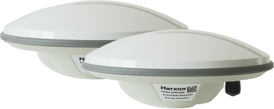
Dual-Antenna GNSS System
Low-latency wired communication reduces fuel consumption and labor costs; works on both phones and tablets with dozens of job functions covering most applications.
Why choose the D5
Core parameters at a glance
D5 key features
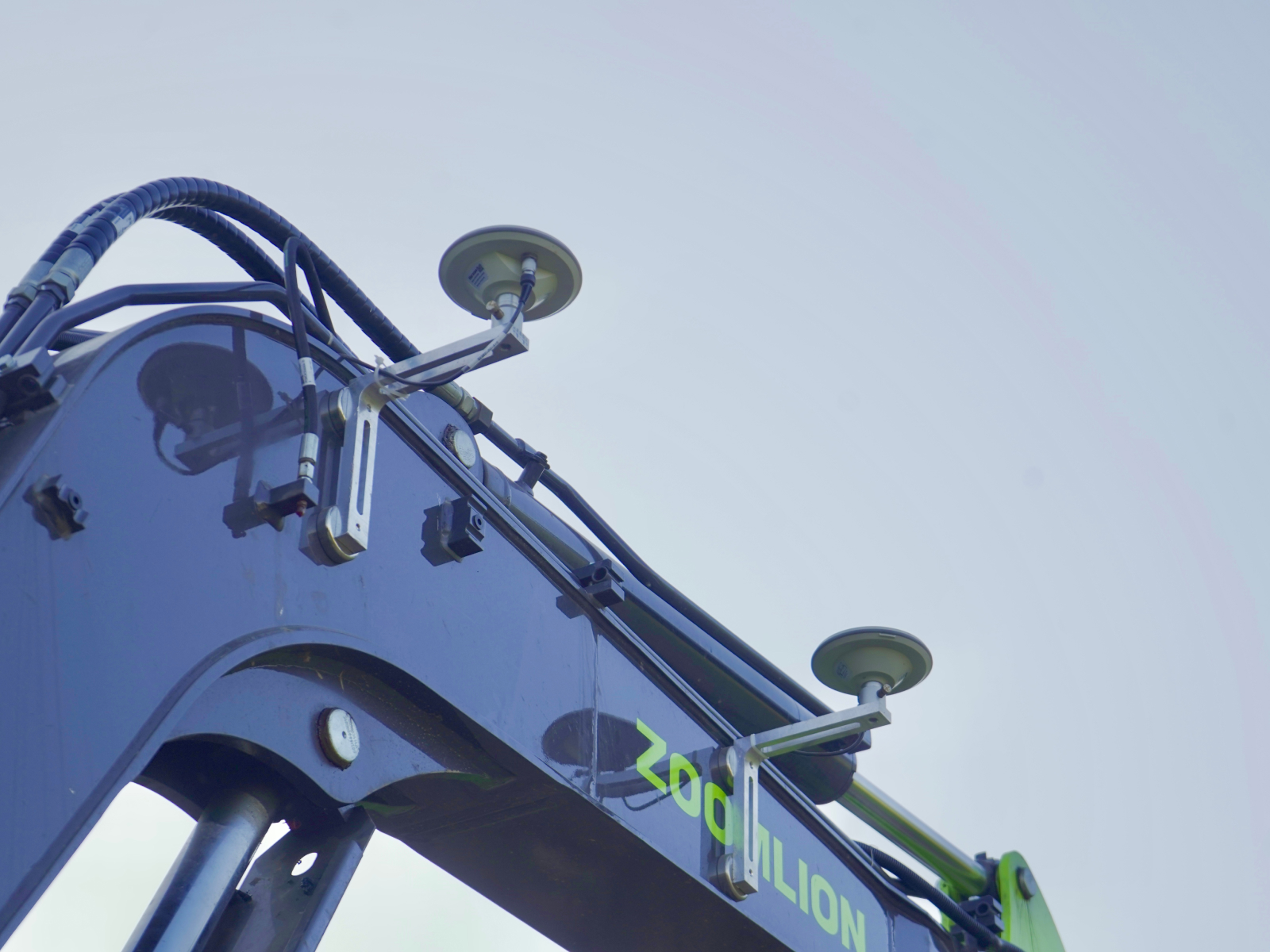
Phones and Tablets Supported, Dozens of Job Functions
The software adapts perfectly to phones and tablets and comes with dozens of functions — leveling, trench digging, slope trimming and more — covering most applications. It graphically shows front and side views of the arm and bucket for an intuitive display, and the plan view can import CAD drawings, triangulated meshes or satellite maps as the base layer.
Detailed technical parameters
Note: This document is for reference only. As we continually improve product performance, specifications are subject to change without prior notice.
Packing list
Note: The packing list may be adjusted with product revisions; the actual items you receive take precedence.
Built for diverse construction scenes
Explore other models
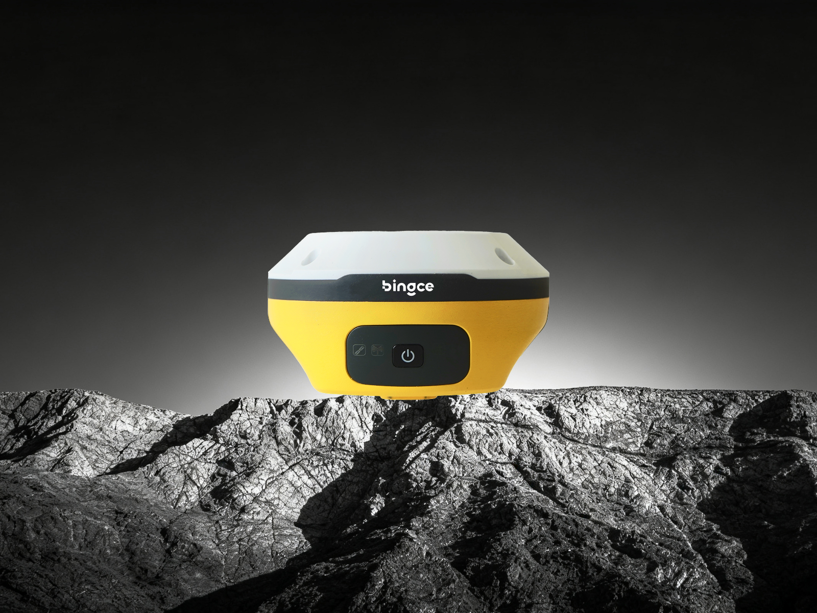
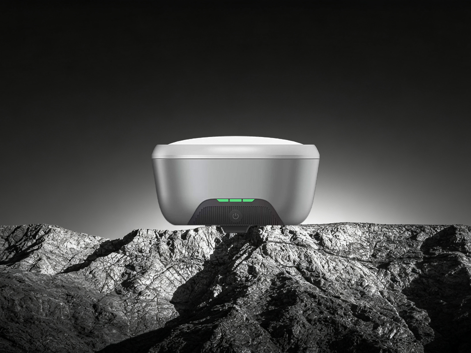
Upgrade to the D5 for more precise construction
Book a product demo and get a tailored intelligent construction solution.