01Municipal Construction
View details
Centimeter-level RTK positioning locks onto the construction position and elevation in real time, giving every bucket pass a reliable reference.
From the flagship-precision X5 to the balanced and reliable D5 — choose the intelligent construction guidance system that best fits your job.
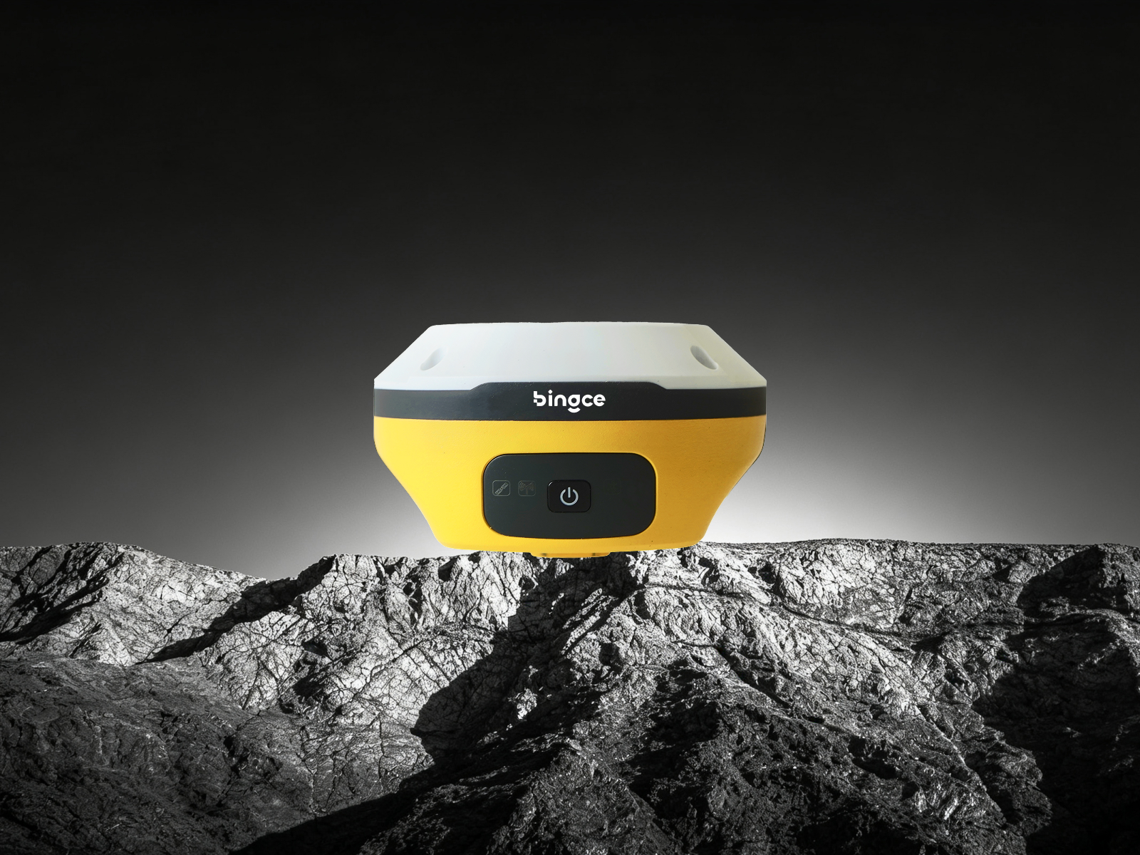
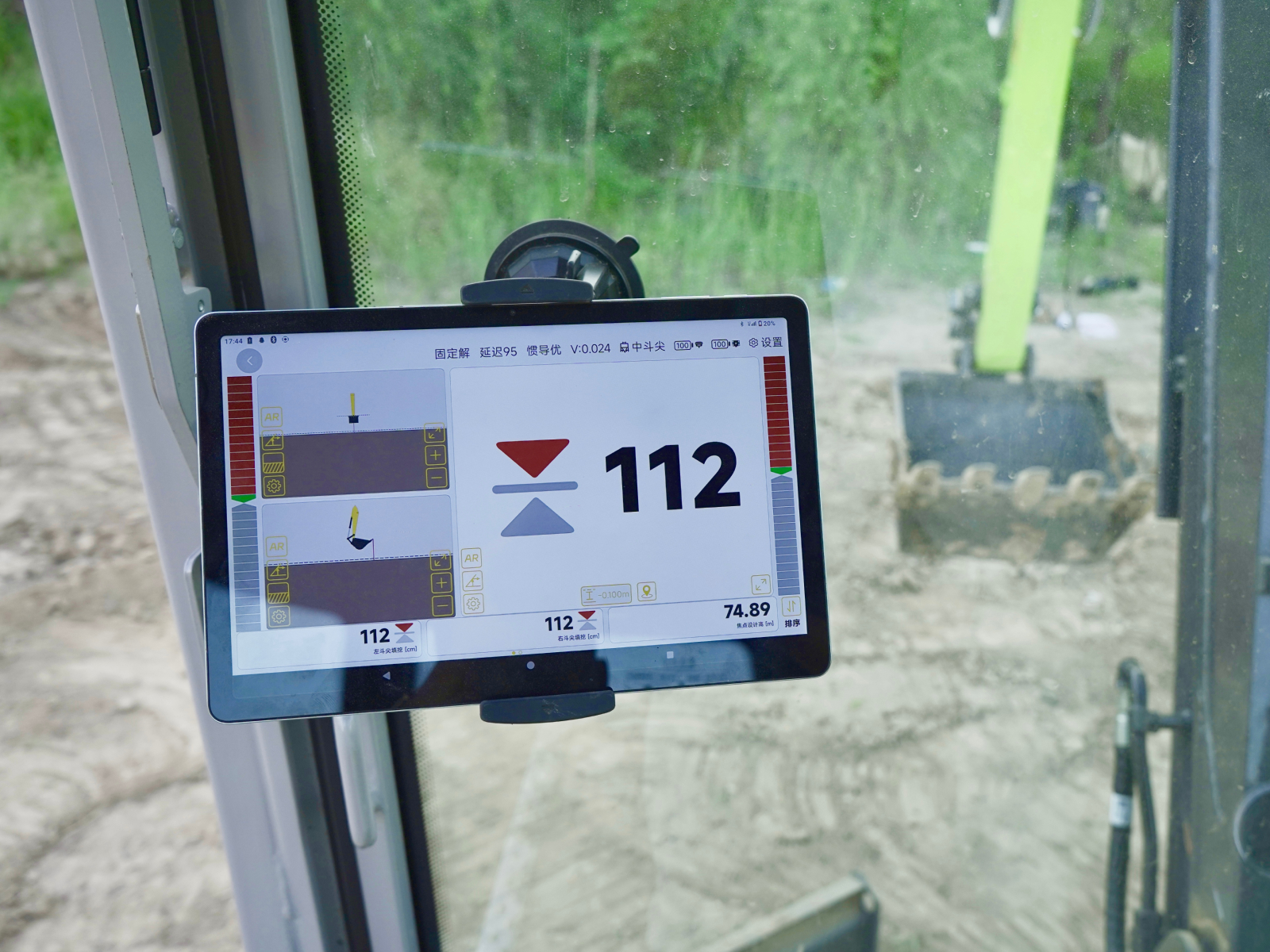
Survey-grade IMU inertial-navigation RTK delivers centimeter-level cut/fill accuracy with visual guidance. Wireless quick deployment and non-destructive installation let an experienced operator start working in 20 minutes.

Give your excavator an electronic eye — with AR vision, external power supply and a built-in radio, while the receiver's 4G can act as a network base station for stable accuracy even in extreme environments.
Low-latency wired communication reduces fuel consumption and labor costs; works on both phones and tablets with dozens of job functions covering most applications.
Earthwork, site leveling, river dredging, farmland improvement… wherever you are working, Terrain Pilot provides accurate, real-time guidance for the task at hand. Excavator operators and project managers both use it — your scenario is covered.
View all solutions →Book a product demo and get a tailored intelligent construction solution.